
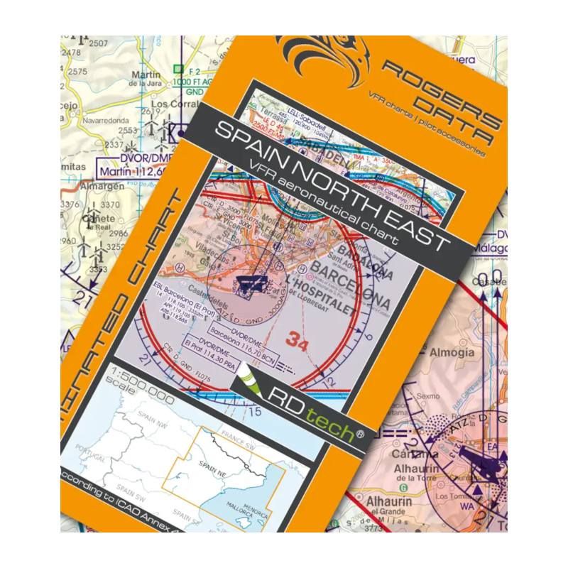

Carta VFR ROGERS DATA: SPAIN North East Scale 1:500.000. Edition 2026
Description
Spain North East VFR Aeronautical Chart – ICAO Chart
Edition: 2026
Special features for this region:
TRAs temporary reserved airspaces
ATZs aerodrome traffic zones
Windmills, Wind turbine
Significant points (border crossing)
All Rogers Data VFR charts are designed to the following criteria:
Spain North East aeronautical chart on a scale of 1:500.000
According to ICAO Annex 4; EU Commission Regulation; AIP
Clear representation of the ATS airspace structure
Detailed highly sophisticated terrain map with shading and relief
Airports, aerodromes and heliports with additional information
Radio Navigation Aids with name, frequency and morse code
Compulsory reporting points, reporting points on request, significant points (border crossing)
Danger- and restricted areas
Obstacles or group of obstacles
Minimum Grid Area Altitude
Isogonic line model with magnetic variation
With the Rogers Data Navigation Compass 500 track, time and distance in the scale of 1:500.000 can be easily measured